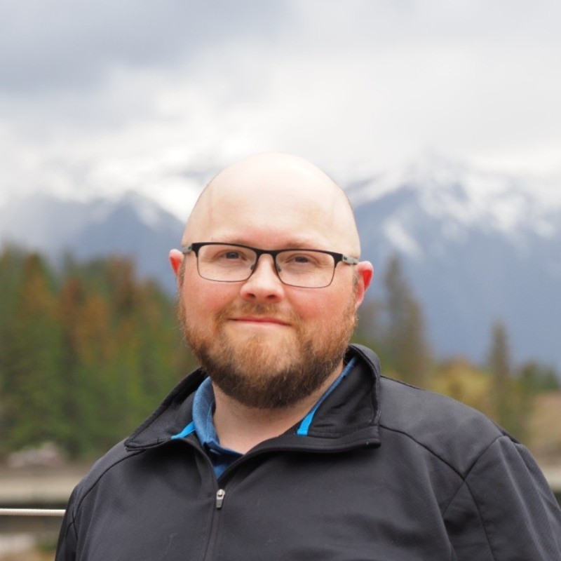
I’m a geospatial data scientist and remote sensing specialist based in Alberta, Canada, working remotely.
My background is in remote sensing science. At the University of Lethbridge I studied geography for both my B.Sc. and M.Sc. While at university, I was part of the NSERC CREATE AMETYST program (Advanced Methods, Education, and Training in Hyperspectral Science and Technology), which allowed me the opportunity to expand my skills through multiple industry internships. My university research produced four peer-reviewed papers, mostly on the radiometric calibration of low-cost cameras and optical sensors.
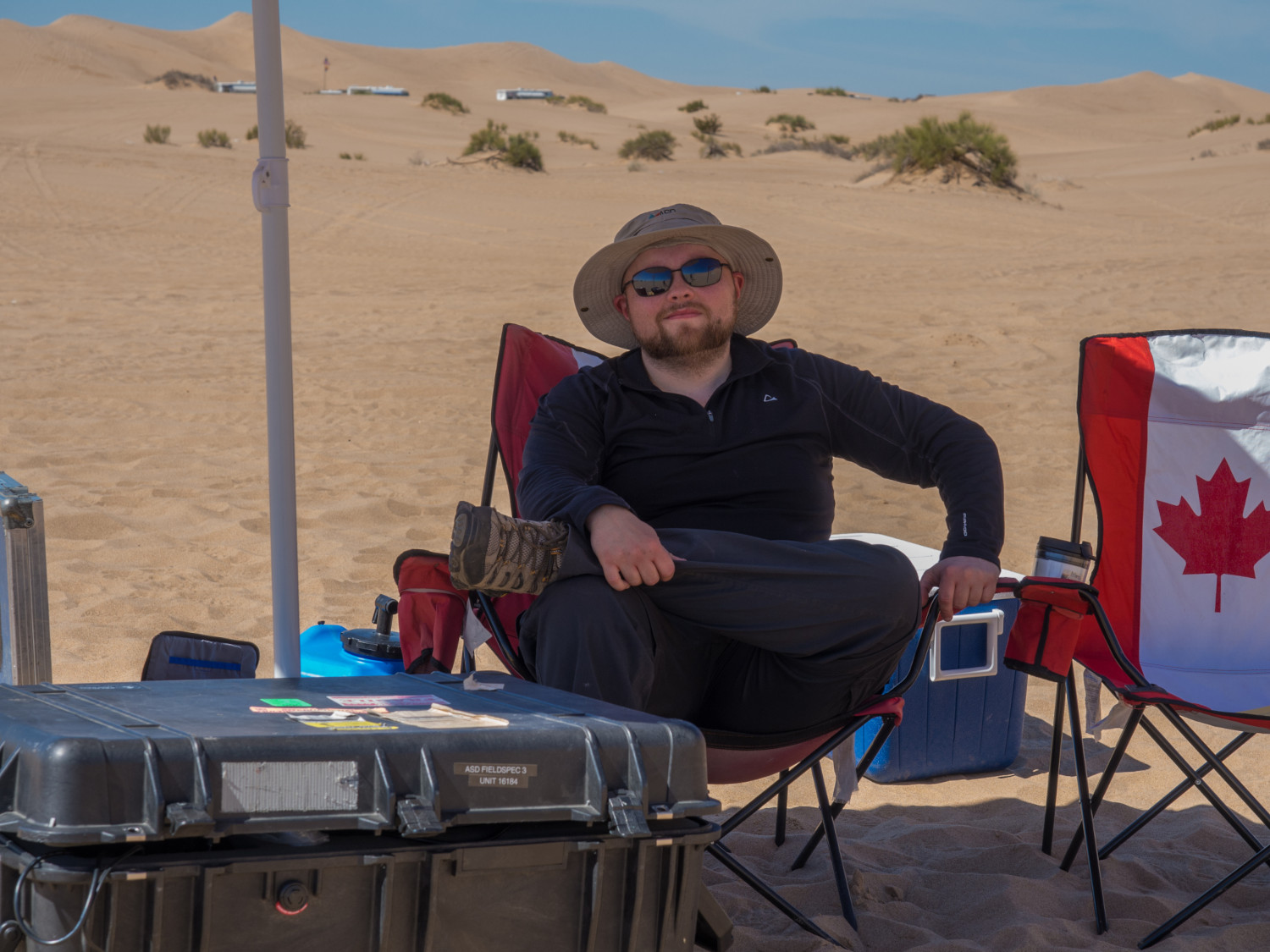
During my M.Sc. I also had the privilege of participating in a large-scale calibration and validation field campaign in southern California alongside researchers from NASA, South Dakota State University, the Rochester Institute of Technology, and the University of Arizona.
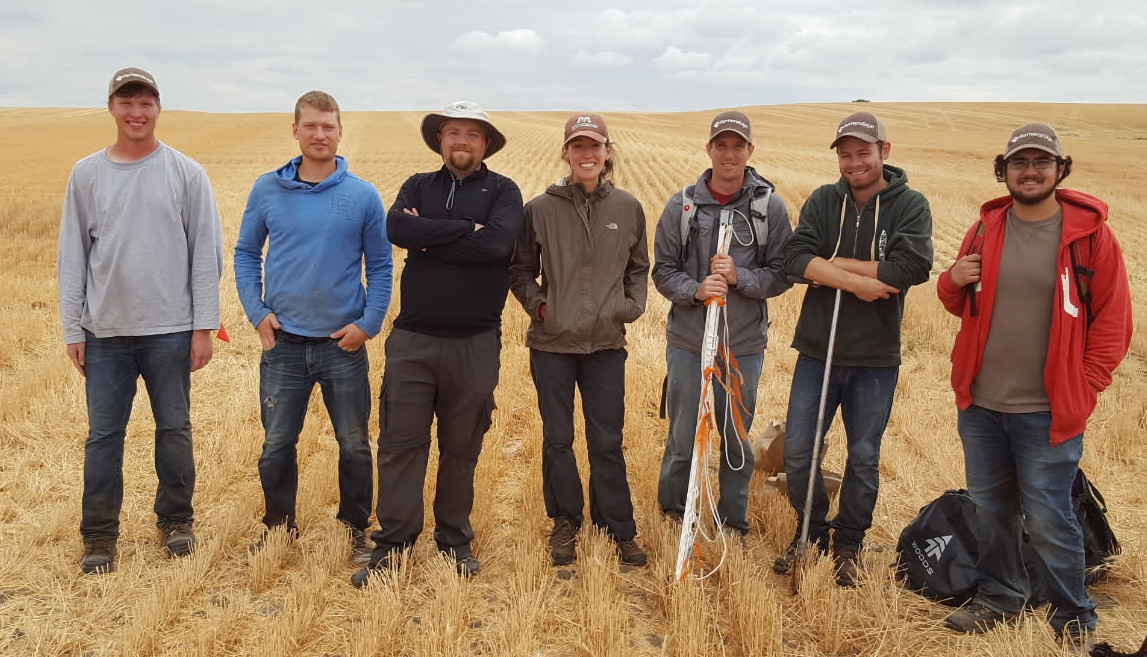
After graduating in 2016, I worked at Farmers Edge where I spent five years building imagery analytics for their precision agriculture platform, FarmCommand, including an automated crop health alerting system and hail damage detection system. I also spearheaded multiple field research campaigns for model calibration and validation. While there, I was promoted from Remote Sensing Scientist to Senior Remote Sensing Scientist, then to Remote Sensing Manager, where I managed a team of three direct reports and numerous student interns.
From 2021 to 2026 I was a senior data scientist at Sparkgeo, running geospatial ML projects from client discovery to delivery: natural hazard risk for properties, object detection in aerial and satellite imagery, data quality assessment, methane detection, and wildfire and flood mapping. I worked on agile, cross-functional teams to produce high-quality, rigorous analytics to meet client needs on time and on budget.
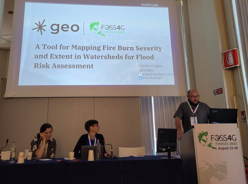
During my time there, in addition to client work, I led internal research projects and presented my findings at several conferences, including the Canadian Symposium on Remote Sensing (CSRS) and Free and Open Source Software for Geospatial (FOSS4G) (talk video).
My recent work uses geospatial foundation models for applied problems, such as mapping Arctic sea ice from SAR with model embeddings.
I’m currently looking for my next opportunity. I’m open to remote roles in geospatial machine learning and data science.
Outside work, I live on an acreage, so there’s never a shortage of things to do. I spend a lot of my time hobby farming, helping out with my wife’s flower farm business, and tackling a never-ending list of home projects. When I’m not busy homesteading, I like to mountain bike, explore the outdoors, take photos, and relax with my dogs and cats.
Teaching and mentoring
Aside from my work as a professional data scientist, I have experience in teaching and mentorship. In fall 2019 I developed and taught a Precision Agriculture course at Lethbridge College, building all of the course materials from the ground up: lectures, GIS labs and assessments for a class of 38 students. I’ve also supervised and mentored numerous co-op students and interns, as well as junior data scientists.
I’ve been lucky to be mentored by many talented educators and professionals, and I owe much of my success to their influence. Mentoring and encouraging new people in the field, helping them grow into the best version of themselves, is the best way I know to repay that.
Consulting
Since 2021 I’ve run GL Spatial, my consulting practice, providing geospatial data science expertise to clients across different industry verticals. If you have a geospatial problem you need solved, we should chat. Read more about consulting →
In the media
Interviews, podcasts and coverage of my work.
- MapScaping Podcast (podcast, Apr 2023): Hyperspectral vs multispectral
- Cascadia Daily News (interview, Nov 2022): A river’s history: Lost connections between Nooksack, Fraser rivers and Sumas Lake
- North Shore News (article, Apr 2022): Satellite mapping finds correlation between B.C. wildfires and floods
- Global News (video, Apr 2022): Investigating how one natural disaster in B.C. may be responsible for another
- FlowingData (article, Apr 2022): Wildfires and floods, a geographic before and after
- Financial Post (Farmers Edge press release, Oct 2018): Farmers Edge Releases the Industry’s First Automatic Crop Health Change Detection Tool
Banner image: The city of Berlin, Germany, captured by Sentinel-2 on September 10, 2023. Image source